Our History

Powderham is an area separate and distinct from Salisbury, and is referred to as the Jordan Martin tract. The topography of the area is somewhat dish-shaped in that it is low-lying ground surrounded by ridges. Both Robious and Winterfield roads follow ridge lines. The Powderham area was used for farming in the pre-civil war era. The remains of drainage ditches, which were hand-dug, can still be seen in the lower lying and flat areas of the neighborhood.
The Adamson family acquired the land in 1901 intending to use the blue clay that abounds in the area to produce fire brick. This did not prove to be economically feasible and the land lay undeveloped for decades. While the Powderham track fronts Robious Road, the only access to its interior during this period was provided by an old railroad bed built during the early 1800's to transport coal from Midlothian to the James River. Its path crossed through the Glendower/Ellesmere intersections. Portions of the old railroad bed are still visible in some areas of our neighborhood. No coal was ever actually mined in Powderham.
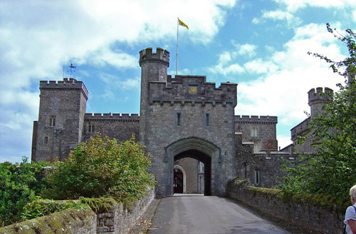
Development of Powderham into a subdivision began in the mid-1970s by V. Cassel Adamson, Jr., a Richmond attorney. The name comes from a picture on his office wall of an English lord with his castle in the background, entitled "Sir Courtney of Powderham". Mr. Adamson picked street names for the subdivision from the index of Volume I of Winston Churchill's History of England.